
Germantown Neighbors by Block Source
Public sources answer different block questions. The Germantown dashboard gives a city-facing map view. Shelby ReGIS supplies parcel geometry and a related owner-address table. The assessor and Register can confirm parcel and recorded-transfer details. GoVoteTN handles an individual registration query, not a block roster. Neighborhood associations offer a community layer, but the city does not publish universal membership lists. Use the narrowest source that answers the specific question.
| Block source | What it can show about the block | Access and limit |
|---|---|---|
| Germantown GIS dashboard | City layers, parcel navigation, and development context | Public interactive map; confirm live control names before relying on a tool. |
| Shelby ReGIS parcel polygon | Parcel shape, ID, property-location relationship, and adjacent geometry | Public map service; not a legal survey. |
| Assessor owner record | Owner names, situs, mailing lines, unit data, classification, and property data | Public search; owner does not equal an entire household. |
| Register deed and plat index | Transfers, recorded parties, legal descriptions, lots, blocks, and easements | Public index or images where available; older records may lack a street address. |
| Neighborhood association page | Association names, links, and civic contact context | More than 75 associations are listed; there is no city member roster. |
Start with the place of the parcel, then label each result. A situs address is the property location. A mailing line is for tax notices. A recorded owner may have a different mailing address, and a multi-unit parcel can require the unit number or unit-description field before it is treated as more than one address.
Map Germantown Neighbors Parcel by Parcel
Germantown’s map dashboard is the human-friendly starting layer, and Shelby ReGIS is the more explicit parcel service. The county service supports identify and query functions, pagination, order-by, statistics, and query-with-distance. For a normal block check, pan and identify first. A technical distance or buffer query can define a nearby set, but it should be used to inspect parcels, not to infer a social or household relationship between people.
- Open the Germantown GIS dashboard and locate the target address or street segment.
- Identify the target parcel and record its parcel ID, situs address, subdivision or lot detail, and displayed owner information.
- Click the polygons that share a boundary or sit immediately beside the parcel, recording direction and parcel ID for each.
- Compare each result with the assessor’s address search and the ReGIS owner table, keeping the mailing lines separate from the physical location.
- Use a Register deed or plat only when a lot, easement, or recorded transfer needs confirmation.
For a full named-street record chain rather than the immediate block, use the Germantown street directory. The street route goes farther into assessor, deed, voter, and historic address material.
Note: A shared parcel boundary is a map relationship, not proof that two households are connected.
Germantown Neighbors in ReGIS Fields
The public ReGIS owner-address table makes the map more useful because it separates fields instead of combining them into a vague address. It includes parcel ID, owner name fields, street number, direction, street, suffix, city, state, unit number, unit description, and separate mailing-address lines with ZIP and ZIP+4. Its parcel polygon layer supplies the shape that can be identified or queried on the map. No Social Security number or date-of-birth fields were exposed in the public schema.
The Shelby ReGIS parcel layer is the county source behind those parcel relationships.
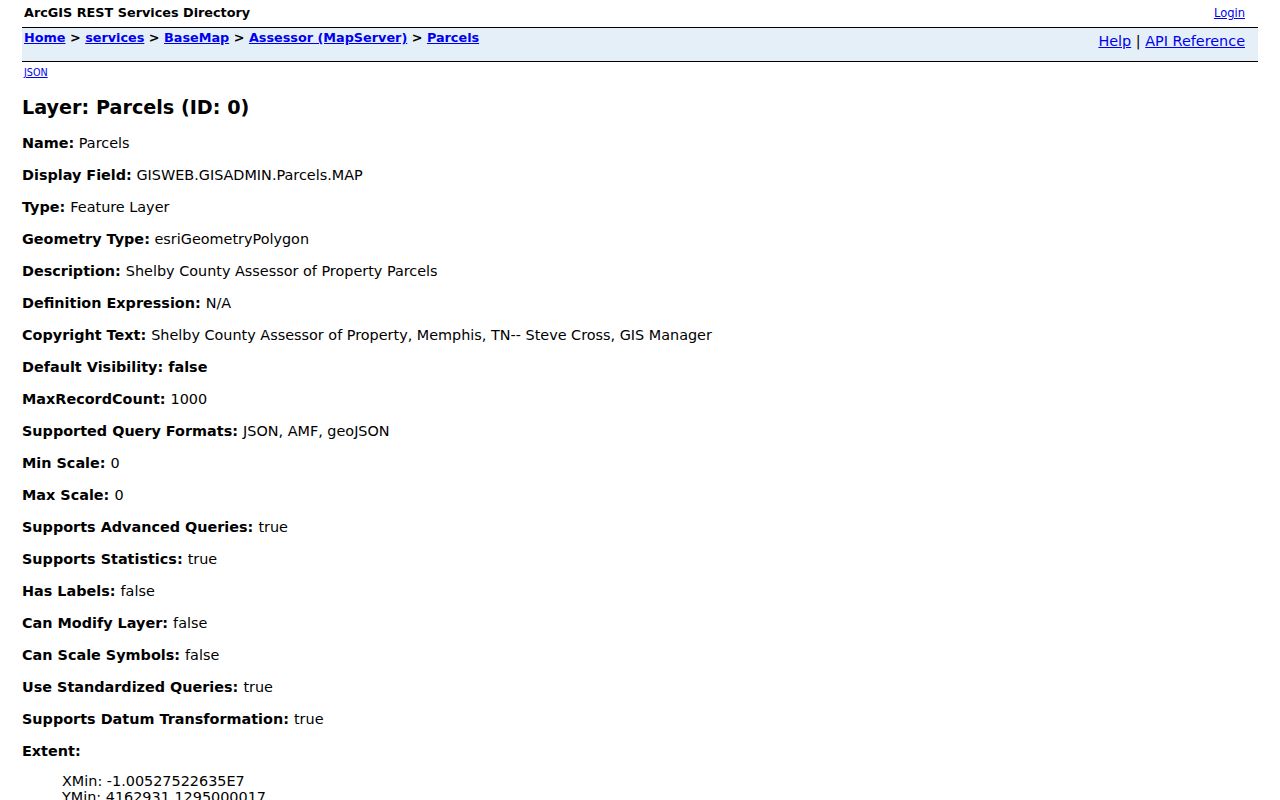
Use the parcel ID and legal description as the reliable handoff to a deed or plat. Map boundaries are generalized data and do not replace a recorded plat, deed, or survey for a legal boundary question.
- Parcel polygon
- The mapped shape used to represent a tax parcel in the GIS layer.
- Situs address
- The physical property-location address, distinct from where an owner receives tax mail.
- Unit description
- A field that helps prevent a multi-unit property from being mistaken for a single household.
Germantown Neighbors and City Map Layers
The city GIS environment integrates local layers such as zoning, parks, and traffic-pattern material. In August 2026, Germantown announced an interactive development map for construction and development projects across the community. That is useful block context when a parcel search raises a question about a visible project, but it is not an owner or resident directory. Capture the date and source of a project entry, then corroborate any property claim through the assessor, deed, permit, or filing record.
The interactive city parcel dashboard shows the map environment used for address navigation.
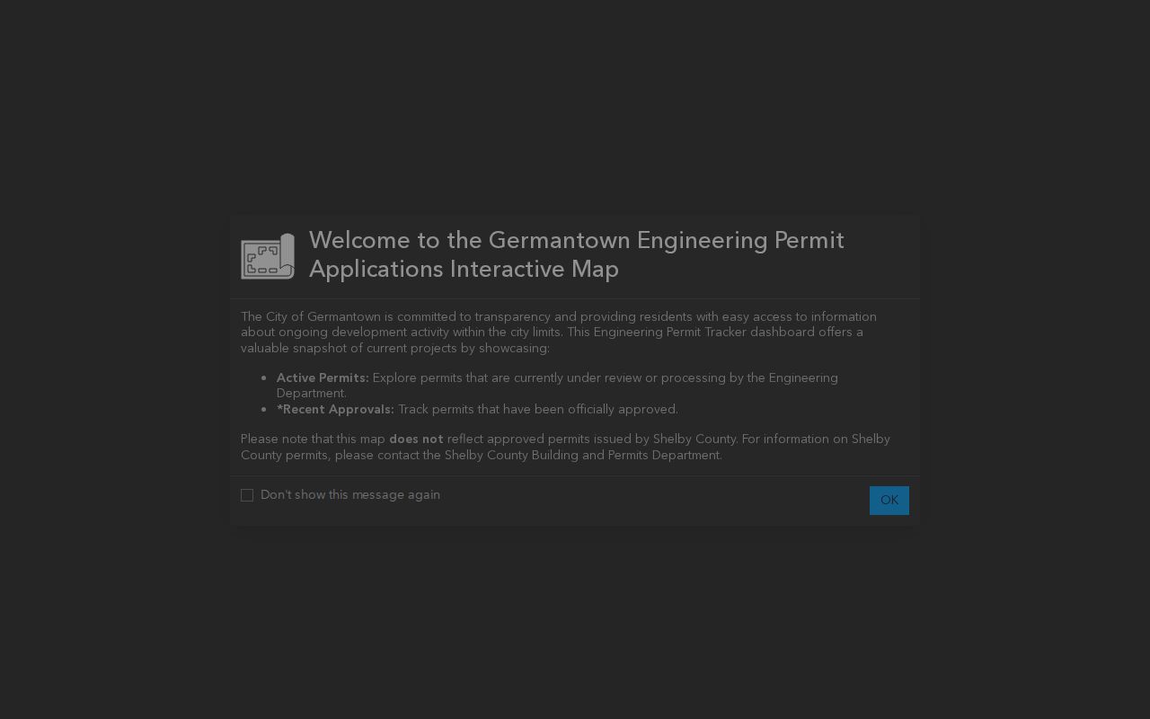
Planning and development layers add a date and location to a block question. They do not establish who lives at any parcel.
Germantown Neighbors and Associations
Germantown reports more than 75 organized neighborhood and homeowner associations. They are useful for recognizing the community structure around a parcel, locating public meeting or project information, and finding a listed contact. They are not household rolls. Membership and contact practices are decentralized, and a city association listing should never be treated as permission to seek a private member list.
| Dogwood area | Dogwood Creek, Dogwood Forest, and Dogwood Grove appear in the city’s association examples. |
|---|---|
| Germantown names | Germantown East, Germantown Park, and Germantown Trails are among the listed examples. |
| Kimbrough and Oakleigh | Kimbrough Grove, Kimbrough Woods, Oakleigh III, and related historic Council listings provide association-name leads. |
| Other examples | Duntreath, English Meadows, Glenalden, Grove Park, Lansdowne Place, and Poplar Estates are listed by the city. |
Use the city neighborhood-association page to verify a name or locate the public association route. Ask about public meetings, projects, or joining. Do not ask an association for a private roster of Germantown neighbors.
Note: Germantown association names supply community context, not a verified list of people who live on a block.
Germantown Neighbors and Voter Limits
GoVoteTN is an individual registration lookup. It accepts a first and last name with ZIP, or a street address with ZIP, and reports election information supplied by the Shelby County Election Commission. It does not publish a block-wide roster. A full voter-file request has separate limits: Tennessee residency, a political-purpose certification, and the use restrictions in T.C.A. § 2-2-138. Those restrictions make the voter file unsuitable as a general neighbor database.
If an exact person and address are already known for a valid election question, use GoVoteTN and enter the requested fields exactly. Otherwise, return to parcel, deed, association, or city-project sources that match the question.
Germantown Neighbors and Public Projects
The 2026 Neighborhood Grants program sets aside $25,000 per fiscal year for neighborhood projects, with at least two awards up to $5,000 and microgrants from $500 to $1,000. Applications require established leaders, bylaws, and a W-9. Public notices, project descriptions, and organizational contacts can help explain why a block has a community initiative. They do not identify all residents or association members.
The city’s Neighborhood Grants announcement is the source for those program details. Treat an officer, volunteer, or project contact named in a public notice as a role in that notice, not as proof of a nearby home address.
Note: A Germantown public-project contact documents a project role and date, not a household address.
Germantown Neighbors: Official Records Compared
Official block sources can be checked against their keeper and date. Commercial neighbor-search products may combine old addresses, inferred relationships, and data of unknown update status. They do not replace a parcel record or a recorded deed. The best comparison is not which source produces the most names. It is which source actually supports the narrow question about the block.
| Source type | Best use | Key limit |
|---|---|---|
| Official parcel, assessor, and deed records | Parcel relationship, recorded owner, transfer, lot, or legal description | May not identify occupants and can carry older mailing information. |
| City and association information | Public project, map, meeting, or community context | Not a private membership or household list. |
| Commercial compiled profiles | Broad starting hint only when used lawfully | Accuracy, date, and source relationship may be unclear; verify independently. |
Protect Germantown Neighbors’ Privacy
Public property records do not reliably identify renters, household members, utility customers, mail recipients, delivery data, or motor-vehicle addresses. Tennessee Safe at Home provides a substitute address for qualifying participants in many government interactions. It does not erase old records and it has real-property exceptions, but it is a reason never to infer or publish a protected location by combining separate records. Tennessee law also restricts motor-vehicle personal information and voter-file use.
Stay with public sources, their stated dates, and their intended scope. A parcel map is appropriate for block geography; it is not an invitation to monitor people. Use records for civic context, family connections, personal safety awareness, or an address question that respects everyone on the block.
Lawful use. Germantown neighbor research must not be used to stalk, harass, threaten, intimidate, or expose anyone.
Note: Contact the originating custodian about a mistaken record or statutory redaction, rather than trying to correct it through an unrelated profile.